

Autodesk has invested £2 million in Qflow, a UK construction technology company that provides real-time material tracking and management software The investment builds on existing product integration between Qflow and Autodesk Construction Cloud. The two companies are working to connect ...

New engine said to deliver higher visual fidelity, improve accuracy and introduce new ways for architects and designers to explore ideas Chaos Veras 4.0, the latest release of the AI-powered ideation and visualisation tool for architects, includes a new AI ...
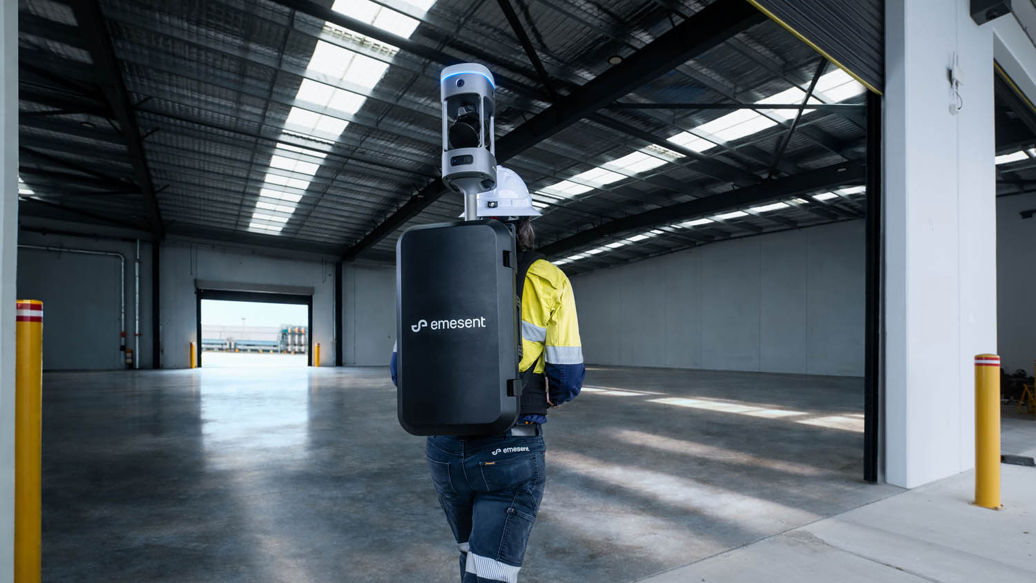
Emesent GX1 said to deliver “survey grade precision” with 5-10-millimetre accuracy, at mobile scanning speeds Emesent has launched the GX1, a mobile scanner that integrates SLAM, RTK and 360-degree imagery capture in a single handheld or backpack-mounted unit. The company ...
CivilEng, Vol. 6, Pages 59: A Modular, Logistics-Centric Digital Twin Framework for Construction: From Concept to Prototype CivilEng doi: 10.3390/civileng6040059 Authors: Maximilian Gehring Jascha Brötzmann Uwe Rüppel Traditional construction logistics rely on manual processes and fragmented tools, leading to inefficient ...
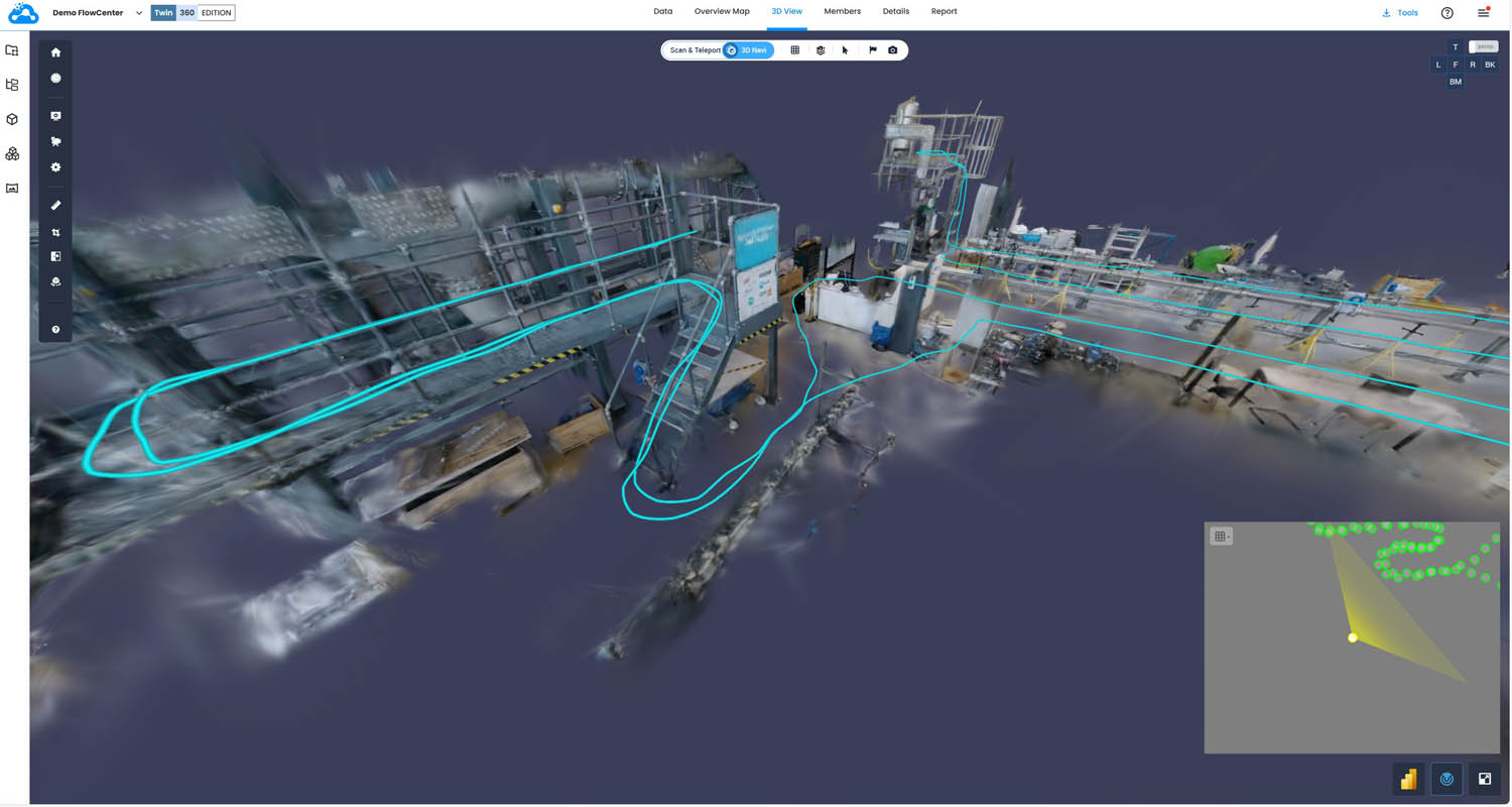
New Cintoo 360 Edition converts 360 video walkthroughs into 3D data to accelerate decision-making Cintoo, a cloud-based platform for the management, visualisation and analysis of reality capture data, has launched a new 360 Edition for capturing, processing and navigating Ricoh ...
CivilEng, Vol. 6, Pages 62: Synergic Co-Benefits and Value of Digital Technology Enablers for Circular Management Models Across Value Chain Stakeholders in the Built Environment CivilEng doi: 10.3390/civileng6040062 Authors: Sakdirat Kaewunruen Charalampos Baniotopoulos Patrick Teuffel Hamza Driou Otso Valta Jan ...

What World Labs investment means for AEC design workflows Autodesk has made a $200 million strategic investment in World Labs, a spatial intelligence AI company co-founded by Stanford AI luminary Dr Fei-Fei Li, as part of a broader $1 billion ...
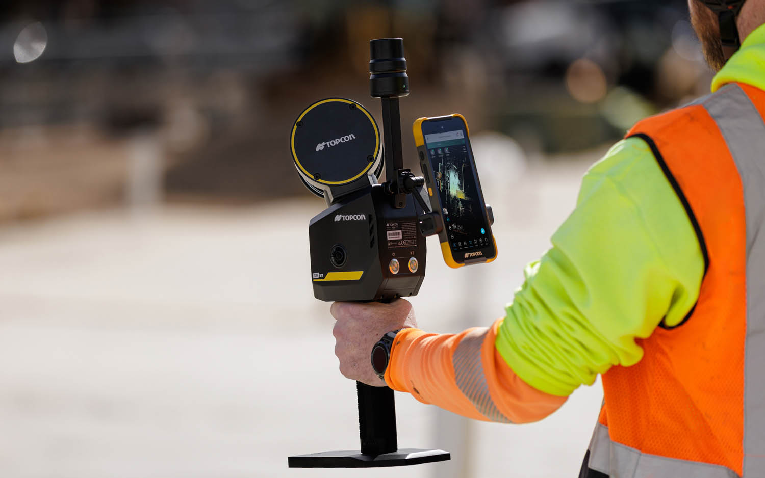
Integrates LiDAR, GNSS and panoramic imaging and boasts denser point clouds and longer range than CR-S2 Topcon Positioning Systems has introduced the CR-S1, a handheld scanning system that combines LiDAR, panoramic cameras, visual SLAM cameras, and a GNSS antenna in ...

Clash and deviation data pushed directly into the BIM collaboration platform, streamlining issue tracking and improving visibility across construction teams Hexagon Multivista has launched an integration between its Analyze deviation detection service and Revizto, connecting reality capture analysis to Revizto’s BIM collaboration and issue-tracking platform. For project ...